
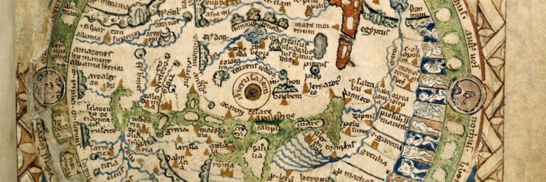
The Psalter World Map of the 13th Century: Unveiling mysteries of the medieval world.
The Psalter World Map, a medieval marvel, intertwines art, faith, and geography, offering a unique window into the medieval worldview.
The mysterious island of Frisland appeared on many old maps dating from the fifteenth to the eighteenth centuries. Yet, there is little or no mention of the island in modern times.
Wikipedia describes the mystery as “Frisland, also called Frischlant, Friesland, Frislanda, Frislandia, or Fixland, as a phantom island that appeared on virtually all of the maps of the North Atlantic from the 1560s through the 1660s.
Note that the mystery island is not to be confused with the Dutch province of Friesland. We are looking at two different entities.
David Johnson also listed Frisland as a phantom island in his book Phantom Island of the Atlantic: The Legends of Seven Lands That Never Were.
Johnson’s book investigates the mapping the unknown seas. The seven places in question include Frisland, The Isle of Demons, Buss Island, Antillia : the Isle of Seven Cities, Hy-Brazil, Saint Ursula, and the Islands of Saint Brendan.
Described by Jackett as “The strange tales of seven…lands, conjured out of myth, human error, and occasionally a captain’s hubris but nonetheless appearing on maps for centuries–even though many of them never actually existed.”
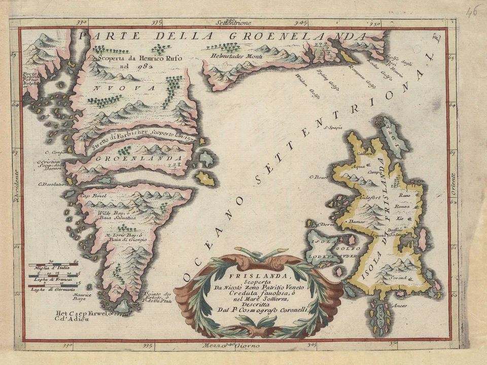
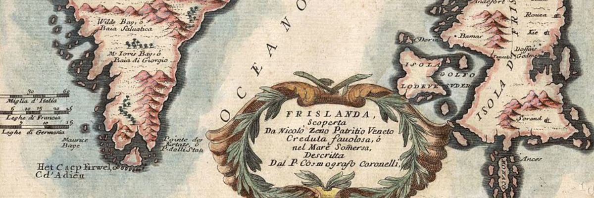
Map of Frisland (Frislanda) and Greenland (Groenlanda) by Vincenzo Maria Coronelli. Coronelli was an Italian monk, cosmographer, cartographer from Venice. To the west of Frisland, lies the Isola Lodkve.
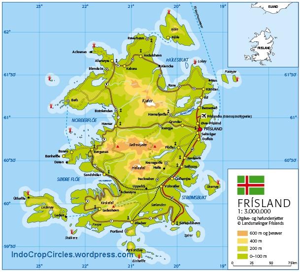
The following map was sourced from indocropcircles.com. It shows a modern clean map of what Frisland may have looked like using a modern style projection.
The Psalter World Map, a medieval marvel, intertwines art, faith, and geography, offering a unique window into the medieval worldview.
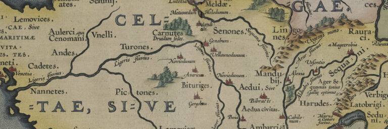
The Gallia Vetvs 1590 map is a historical masterpiece that depicts the ancient region of Gaul, which is now modern-day France. The map was created
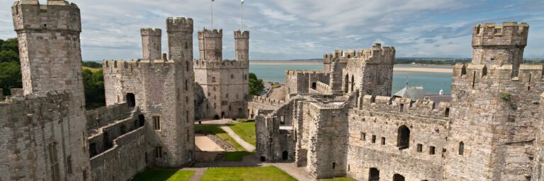
Checking out Castles in Wales – a review of all the castles including ancient ruins with descriptions, prints and maps.