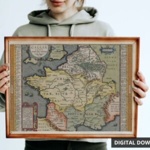
A remastered high resolution digital download of French cartographer Brion De La Tour’s map of North America, with a focus on the United States. The map was published in 1783. The map is in the Library of Congress, USA.
The download is a ZIP file containing 3 files (PDF, PNG and JPG):
Image/Document Size:
10800px x 7200px Landscape. 300 DPI Quality. Ideal for printing onto your own posters or merchandise.
$2.50
A remastered high resolution digital download of French cartographer Brion De La Tour’s map of North America, with a focus on the United States. The map was published in 1783. The map is in the Library of Congress, USA.
The map includes the routes of English navigators Captain Cook and Clarke in 1778 to discover North-West America, and the route of the Spanish fleets from Manila in the Philippine Islands to Acapulco.
The download is a ZIP file containing 3 files (PDF, PNG and JPG):
Image/Document Size:
10800px x 7200px Landscape. 300 DPI Quality. Ideal for printing onto your own posters or merchandise.
Available immediately after purchase.
This product is ideal for those who wish to print-on-demand with high resolution images for printing.